October 13, 2014 | Water in the West | Insights
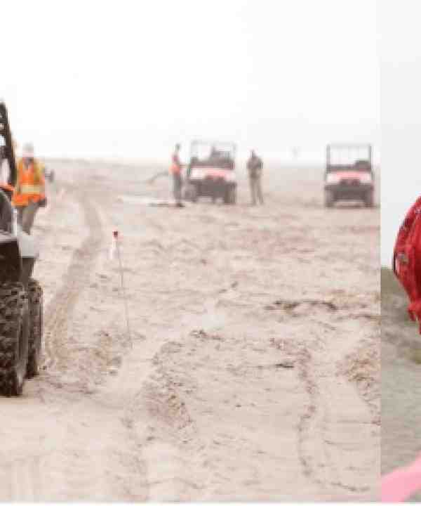
This past Wednesday (October 8) was a busy day for Rosemary Knight, a professor of geophysics in the Stanford School of Earth Sciences and senior fellow, by courtesy, at the Stanford Woods Institute for the Environment. Her morning began on a quiet stretch of beach along the coast of Monterey Bay. She wasn’t there to surf or whale watch like others, but rather to check in with her research team who were collecting data to image saltwater intrusion along 24 miles (39 kilometers) of the Monterey Bay coastline, from Seaside to Aptos. To conduct the survey, the team drove all-terrain vehicles along the beach, sinking four-foot long electrodes into the sand at regular intervals. The electrodes were connected by hundreds of feet of electrical cable used to send an electrical current into the ground.
After talking with the field crew, Professor Knight met with reporters on the beach to discuss her work and its potential implications for local water management. From there it was off to Stanford University’s Hopkins Marine Station in Pacific Grove, where she met with local groundwater managers to discuss ways that her research could be used in their water districts. Then, two hours later, she spoke to approximately 60 members of the public about her research on saltwater intrusion into groundwater aquifers in the region. In Monterey County where groundwater accounts for 99 percent of the region’s freshwater supply, this is more than just cutting-edge science, it is much needed information on a critical resource.
As the Director of the Center for Groundwater Evaluation and Management at Stanford University, Professor Knight employs a variety of geophysical technologies to image groundwater aquifers. For this study she chose to use a technique called electrical resistivity tomography or ERT, which provides researchers with measurements of subsurface resistivity values or movement of electrical current though the ground, which result from changing subsurface geology and water properties. Along the coastline, where freshwater aquifers meet seawater, changes in the salinity of the groundwater dominate the observed changes in resistivity and can be used to understand saltwater intrusion into groundwater aquifers. In 2010 and 2011, Professor Knight and Professor Adam Pidlisecky, Associate Professor in the Department of Geoscience at the University of Calgary, conducted a pilot study along an approximately 4-mile (6.8-kilometer) stretch of the southern coast of Monterey Bay. That pilot study was a huge success, and enabled her to secure funding to image saltwater intrusion along the entire coast of Monterey Bay.
Data collection for the next phase of the study is currently underway and, based on preliminary results, will provide information on local groundwater aquifers to depths of 1000 feet (~300 meters) below the ground surface. Professor Knight is sharing her team’s results with local water management agencies in the hopes that they can use the data to make challenging groundwater management decisions. If this project is successful, it could also encourage the adoption of geophysical tools such as ERT to help water agencies meet new sustainability goals that will be required by recently passed groundwater legislation in California. As Professor Knight puts it, “Geophysics presents a very exciting opportunity for groundwater managers as they make informed groundwater management decisions. Water managers often lack the necessary data - geophysics can provide that missing link!”
Fieldwork for this research is expected to wrap up on Oct. 15, 2014 and results are expected in February 2015. You can learn more about the project at: http://gemcenter.stanford.edu/research-imaging-saltwater-intrusion-along-the-monterey-coast.html or watch the KSBW interview at: http://www.ksbw.com/news/central-california/santa-cruz/electrical-currents-set-up-at-moss-landing-beach-for-saltwater-intrusion-study/29041624
By Tara Moran


![[Woods Logo]](/sites/default/files/logos/footer-logo-woods.png)
![[Bill Lane Center Logo]](/sites/default/files/logos/footer-logo-billlane.png)