April 18, 2019 | Water in the West | News
Novel solution provides insight on intrusion of ocean saltwater into freshwater aquifers.
A crucial source of water for arid regions around the world faces a threat that has remained very difficult to predict or manage, until now. A Stanford-led team of researchers used remote sensing to identify areas of saltwater intrusion, a common cause of drinking water contamination in coastal areas – home to approximately 40 percent of the global population. Their novel solution, published in the Journal of Hydrology: Regional Studies, could provide valuable insight into aquifer systems, and increase the likelihood of freshwater security worldwide.
“Saltwater intrusion can have huge ecological and economic impacts. Accurately mapping and monitoring where saltwater is in the subsurface is critical for managing freshwater resources in coastal systems. With this new research, we aim to provide water managers with another tool to understand and manage these systems,” said Meredith Goebel, lead author and Environmental Geophysics Ph.D. candidate in Stanford’s School of Earth, Energy & Environmental Sciences.
Saltwater intrusion is the movement of ocean saltwater into freshwater aquifers due to changes in density and pressure gradients, determined by several factors including elevation and sediment type. Groundwater quality, quantity and subsurface water movement is traditionally measured through terrestrial monitoring wells. However, sampling offshore coastal aquifers proves more difficult and impractical due to the high cost and difficulty of installing and accessing wells underwater.
While shifts in groundwater salinity can naturally occur, human impacts often disrupt subsurface water flow, further compounding an already complex issue. A common cause of intrusion includes over-pumping of freshwater wells, which in turn drops the level of groundwater, allowing saltwater to flow further inland. Extreme weather events, such as hurricanes, sea level rise or storm surges can also worsen intrusion.
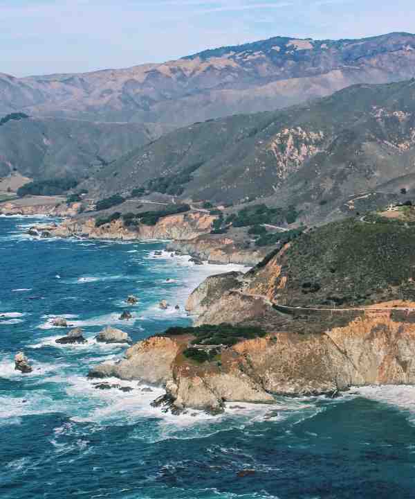
In partnership with Max Halkjær, global service line leader for water resources management at Ramboll, the Stanford researchers used an airborne electromagnetic (AEM) method – a technology that detects variations in electrical conductivity of the ground – to capture conductivity depth profiles off the shore of California’s Monterey Bay. The system is capable of penetrating the saline ocean waters and obtaining signals up to a depth of 50 to 200 meters below sea level. Since electrical conductivity signals typically indicate the presence of salt (an electrically conductive material) in the ground, variations in groundwater salinity – evidence of saltwater intrusion – can be interpreted. By combining 320 kilometers of AEM data with onshore ground-based data and monitoring well data, the team was able to create three-dimensional models of subsurface freshwater/saltwater interfaces and map the coastline up to 3.5 kilometers offshore.
“New information obtained from this study is of great value to the Santa Cruz Mid-County Groundwater Agency, who paid for the use of the AEM method. They are very concerned about the potential impact of saltwater intrusion on their water supply, so were thrilled to be able to see what is happening just offshore, beneath the seabed,” said Rosemary Knight, senior author on the study, professor at Stanford’s School of Earth, Energy & Environmental Sciences and affiliated faculty at the Stanford Woods Institute for the Environment.
To protect coastlines threatened by saltwater intrusion, the researchers suggest maintaining minimum groundwater levels based on groundwater modeling. Identifying lower salinity water zones offshore is also recommended, as these areas are thought to play an important role in maintaining pressure against saltwater intrusion. The team also highlights that the baseline dataset created in this study provides a means for assessing changes in the hydrologic system moving forward.
As climate change-influenced extreme weather events become more frequent, understanding where and how saltwater intrusion occurs will be crucial for managing safe drinking water resources in coastal communities.
“Our hope is that with this work we can continue to facilitate the use of geophysical methods for understanding, and sustainable managing, groundwater systems,” Goebel said.


![[Woods Logo]](/sites/default/files/logos/footer-logo-woods.png)
![[Bill Lane Center Logo]](/sites/default/files/logos/footer-logo-billlane.png)